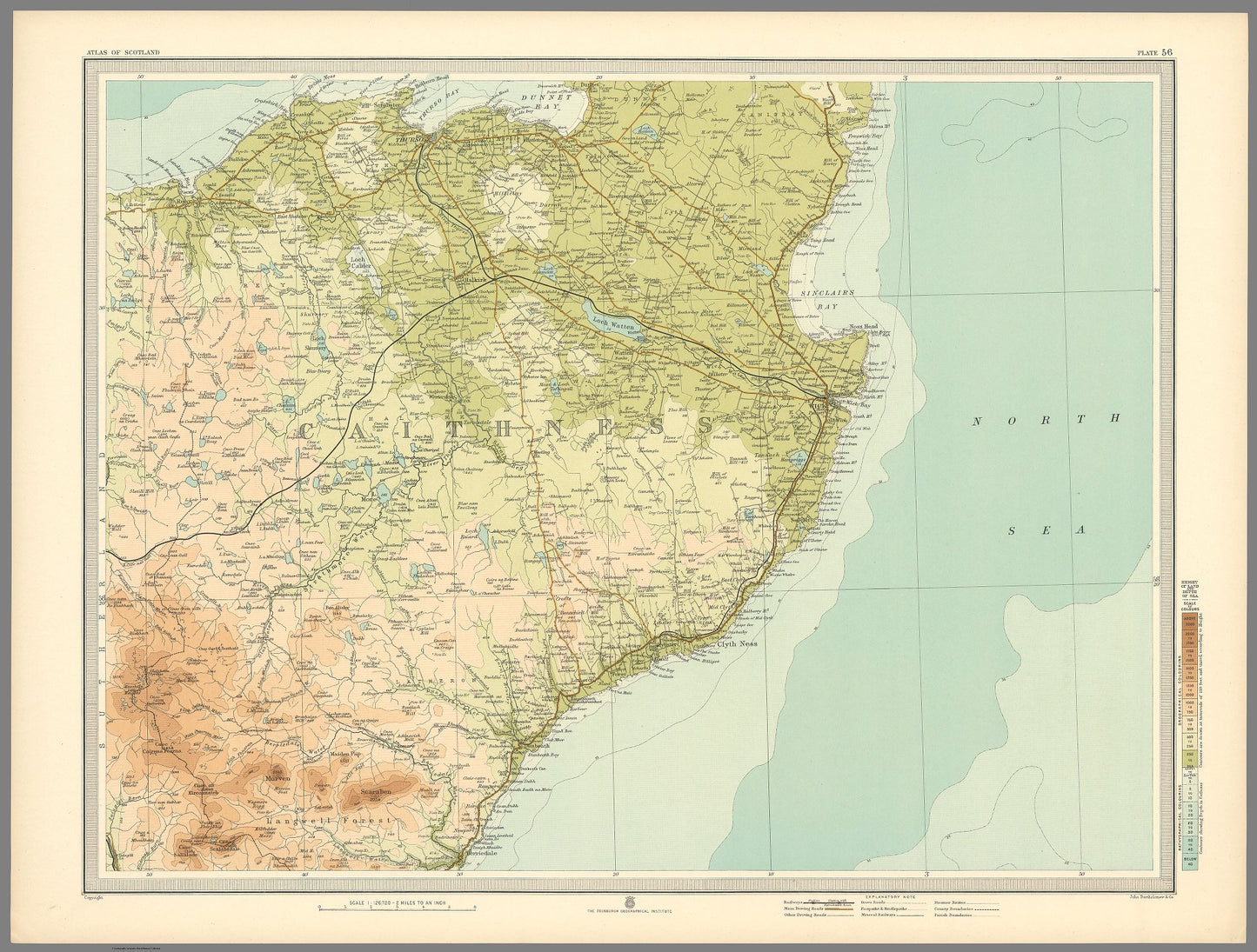
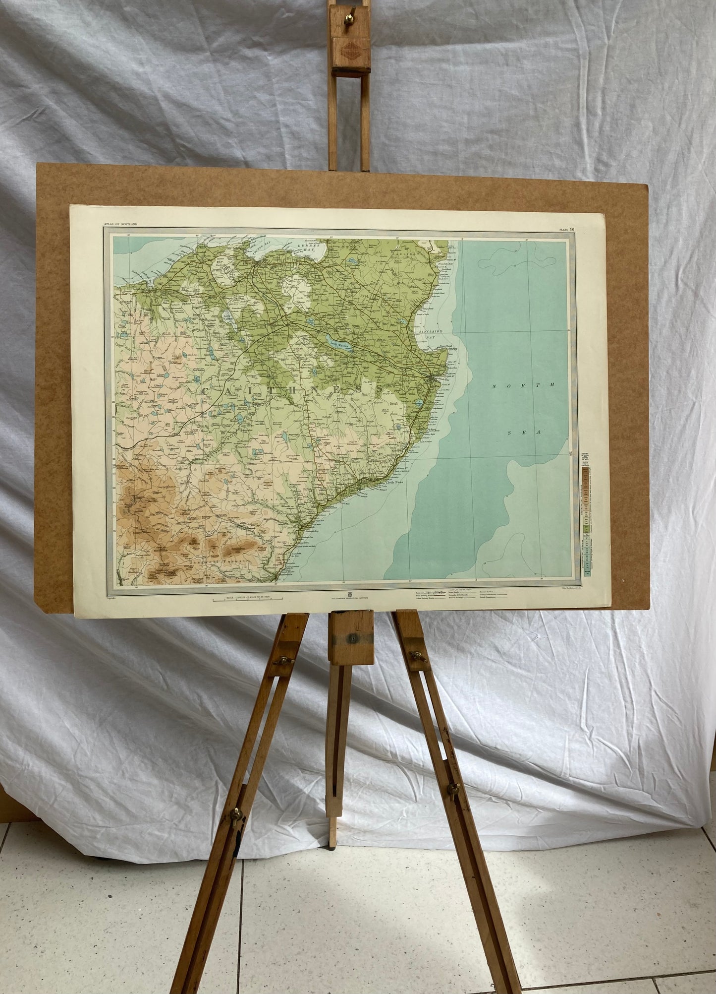
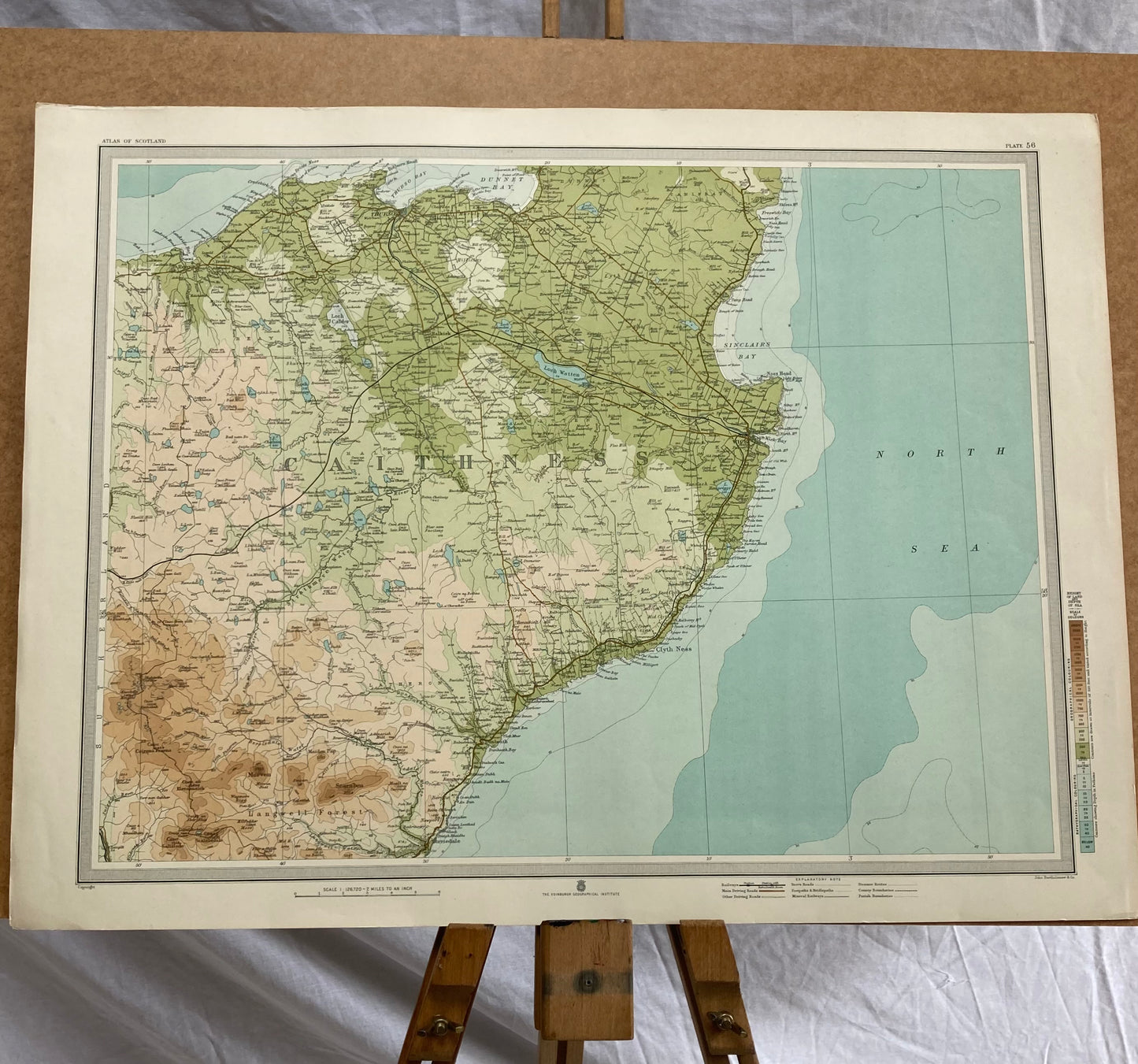
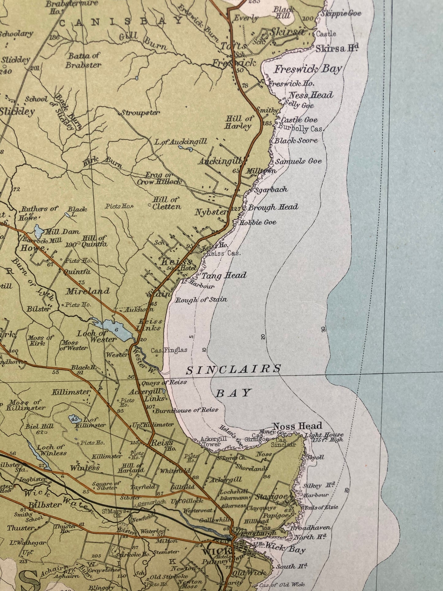
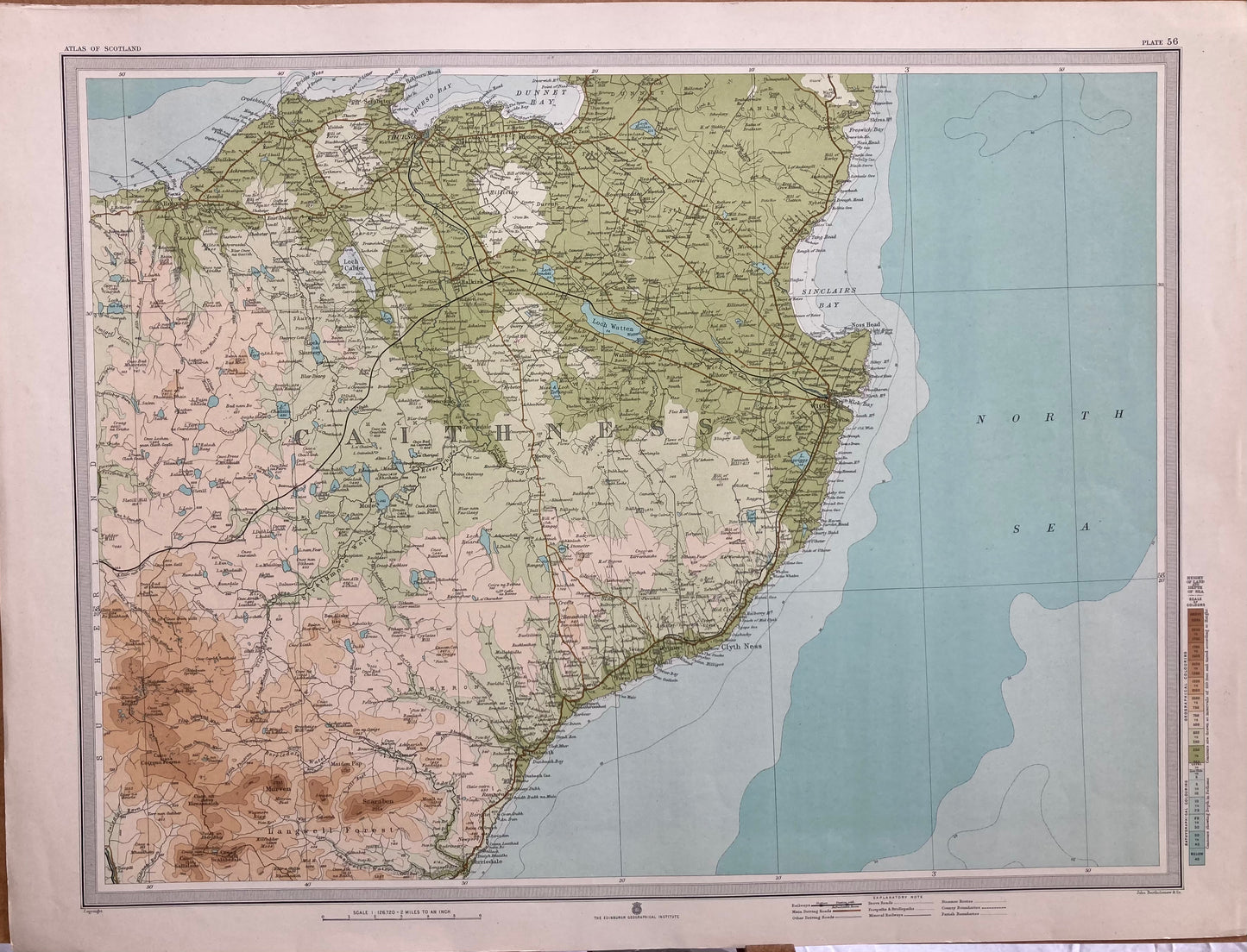
Detailed map titled "Plate 56. Section-Map Thurso, Wick," created by J.G. Bartholomew in 1912. It is part of the "Survey Atlas of Scotland," a deluxe edition published by the Edinburgh Geographical Institute.
The map measures 62 cm in width and 47 cm in height, and it showcases a scale of 1:126,720. (1/2 INCH TO MILE)
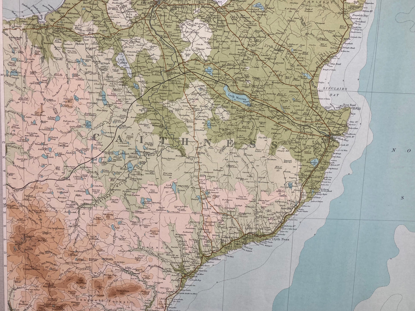
Bartholomew's use of innovative layer colouring is evident in this bright vibrant map enhancing its decorative appeal. A good clean example.