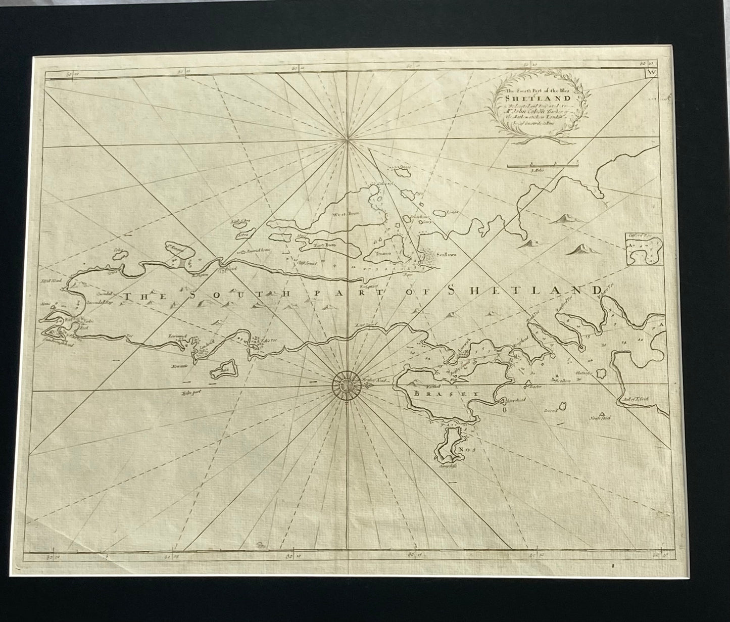
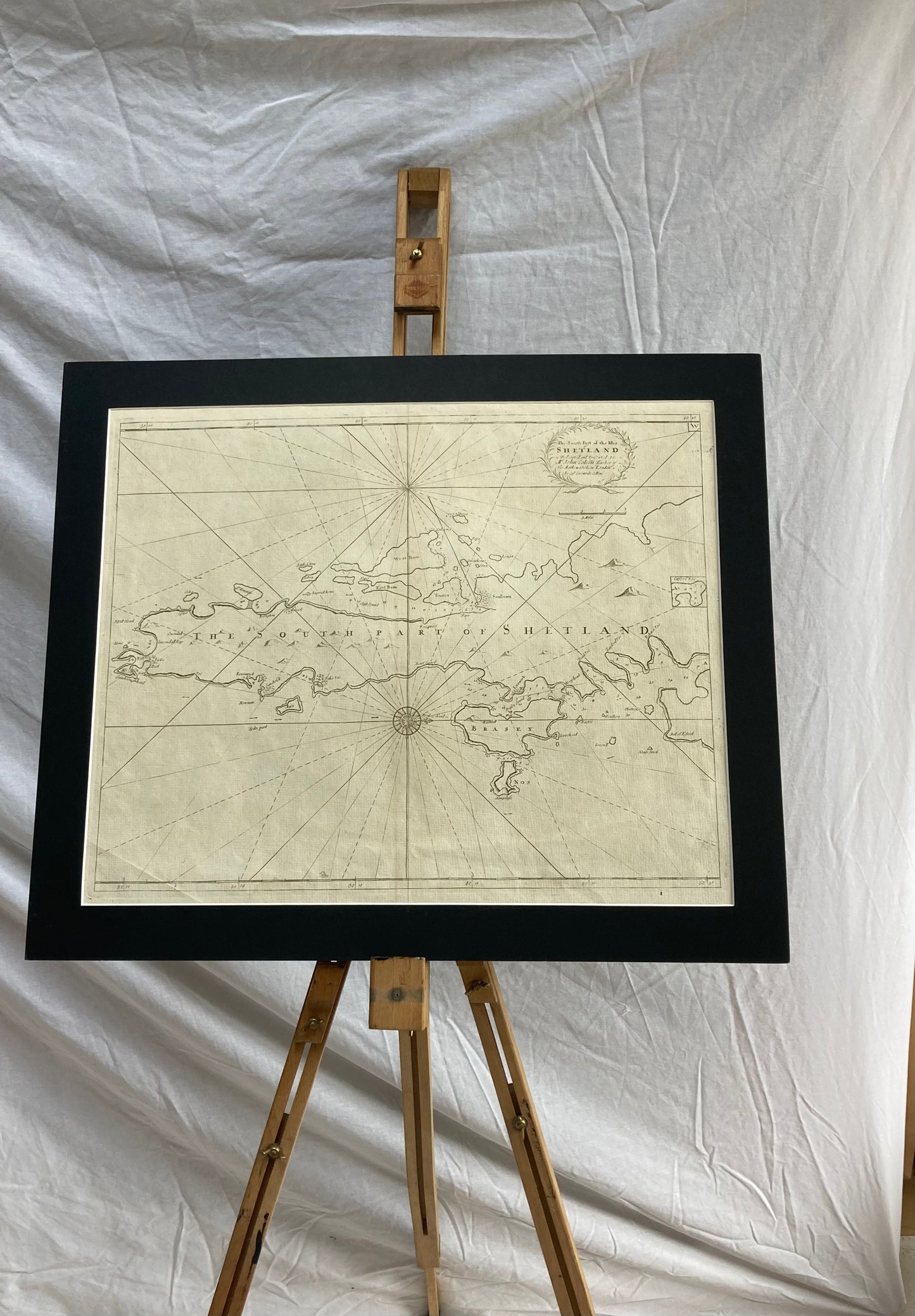
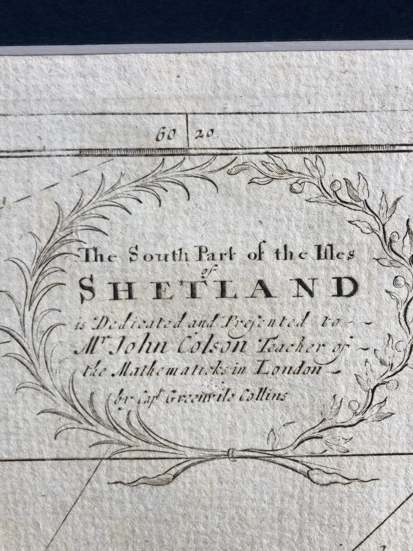
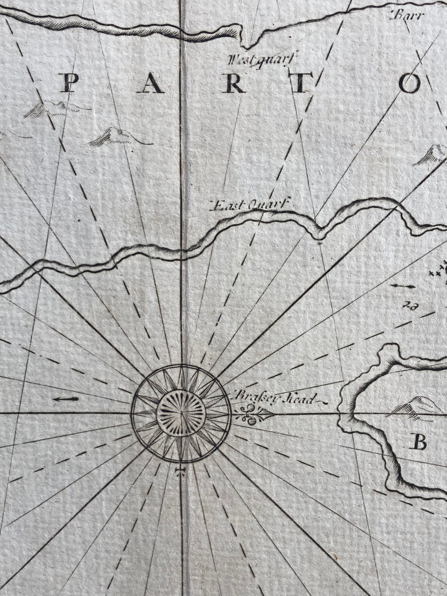
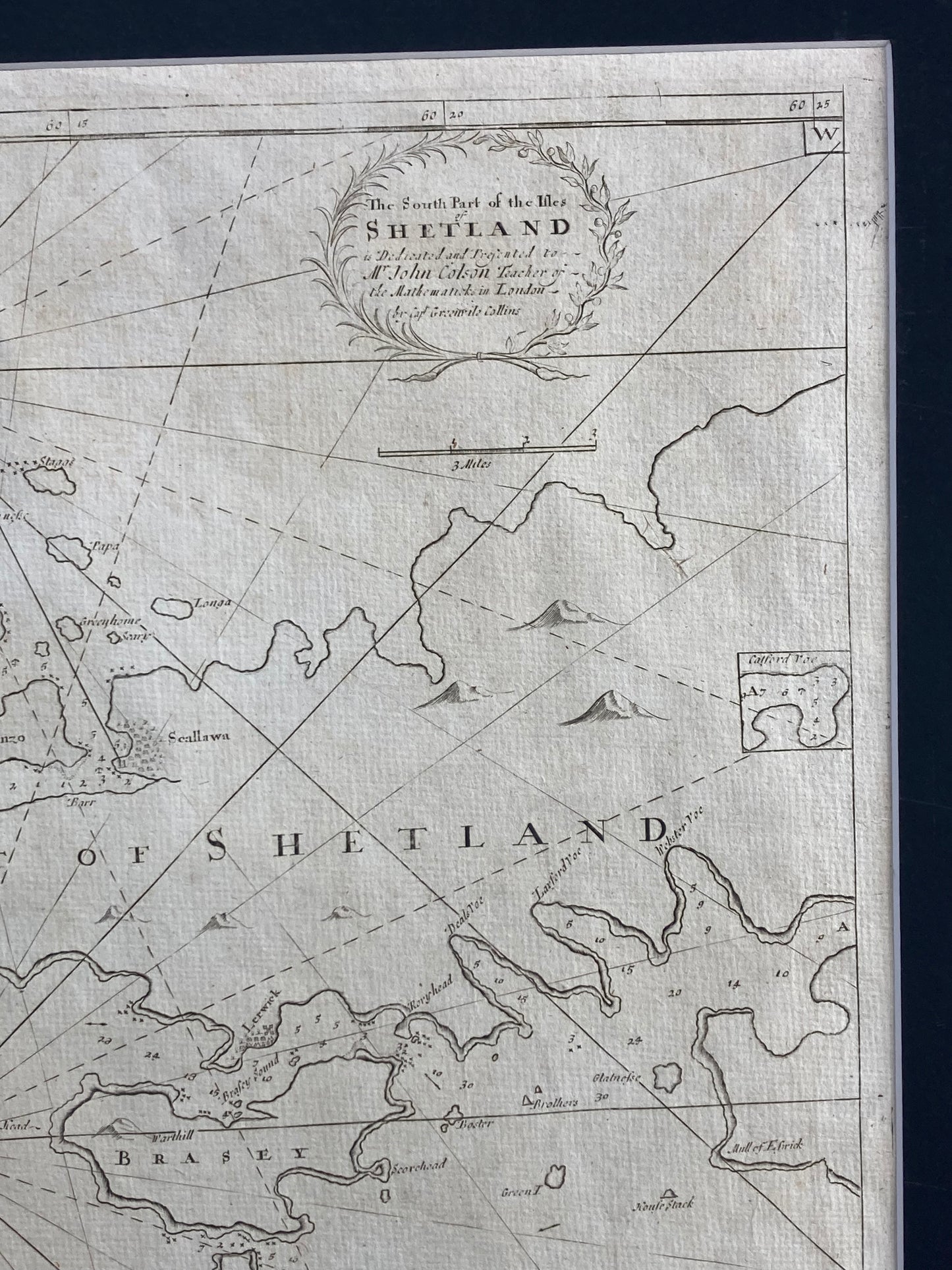
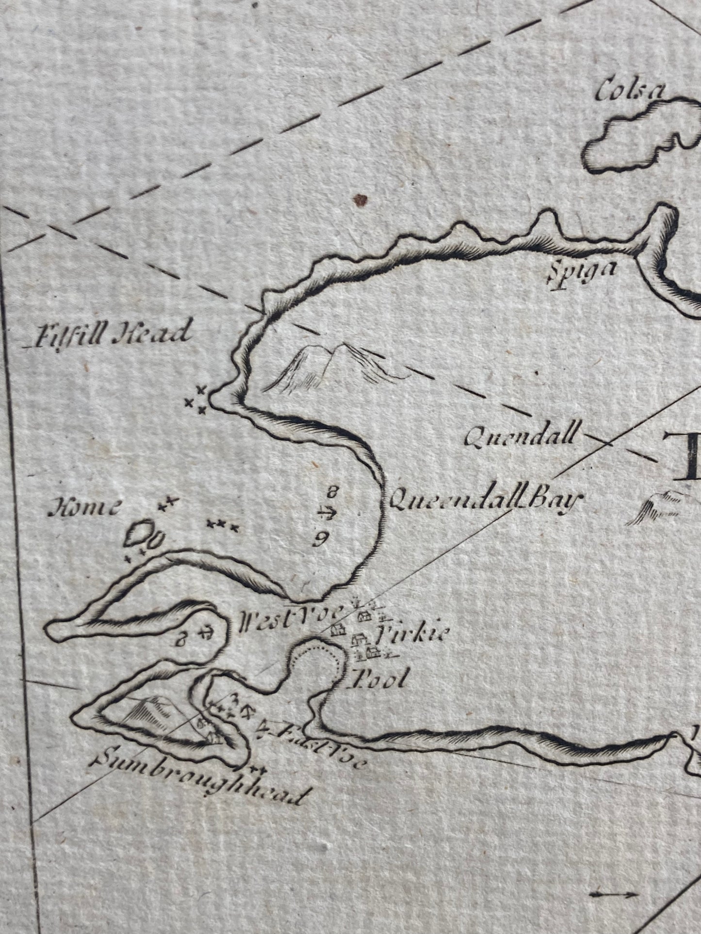
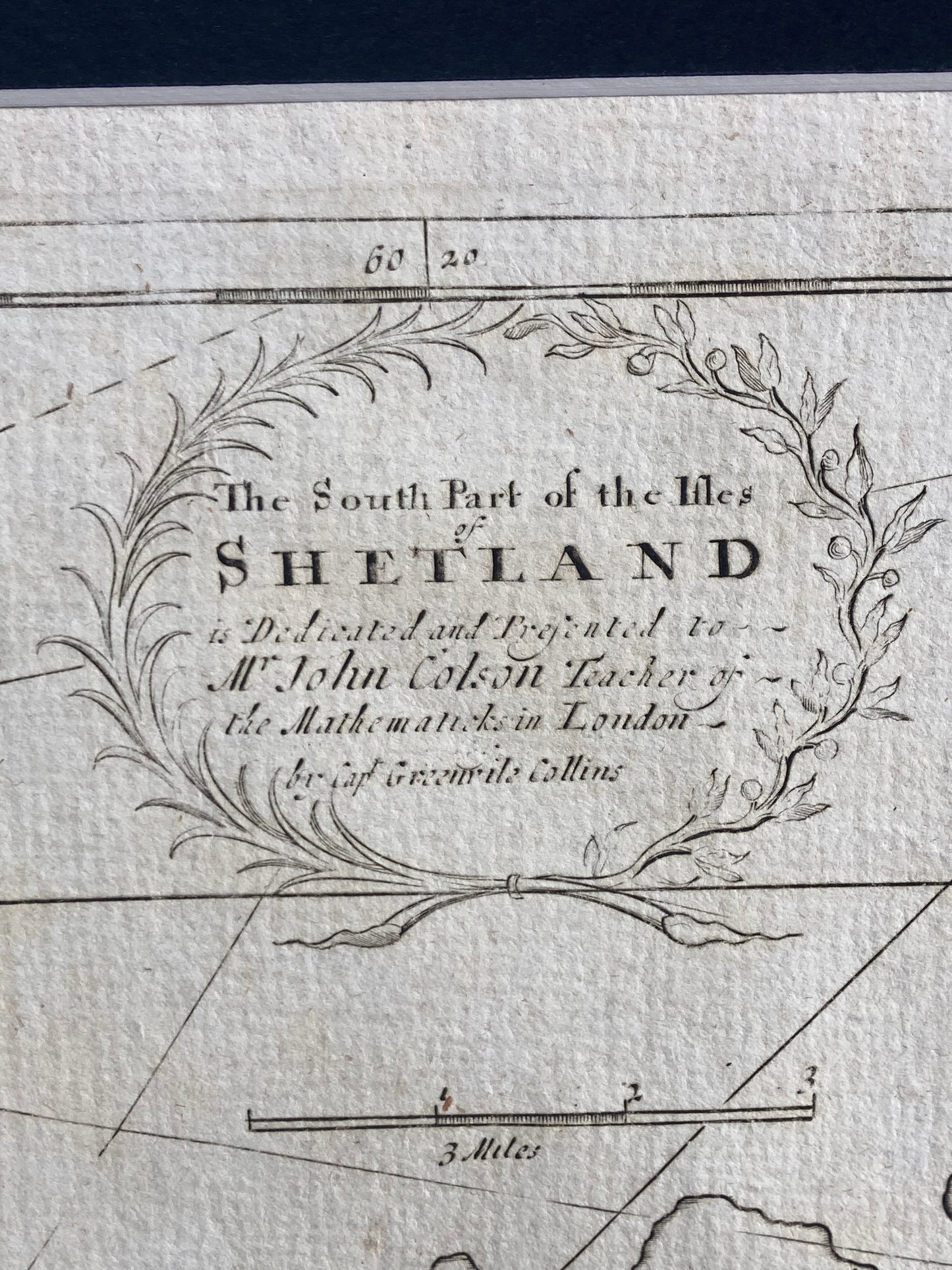
South Part of the Isles Shetland: Rare antique sea chart of the Shetland Isles by Capt. Greenville Collins, from Great Britain’s Coasting Pilot ( published 1693–1764). Historic maritime map.
Discover a rare antique sea chart of the South part of Shetland Isles by the renowned cartographer Capt.Greenville Collins, commissioned under King Charles II and supported by Samuel Pepys in his role as Surveyor of the Navy. This historic chart forms part of Collins’ celebrated work, Great Britain’s Coasting Pilot, first published in 1693 and later reissued until 1764. Showcasing early maritime navigation of the Shetland coastline, this genuine antique print carries the character of time with light age toning, enhancing its authenticity and charm. A perfect piece for collectors ofantique maps, nautical charts, and admirers of British maritime history, it offers both decorative appeal and significant historical value.
Dimensions: Image: 470mm x 580mm (Overall incl. pasted down mount 570mm x 680mm)