Room Four
Antique Map, Stranraer (Scotland)Map, circa 1912
Antique Map, Stranraer (Scotland)Map, circa 1912
Precio habitual
£48.00 GBP
Precio habitual
Precio de oferta
£48.00 GBP
Precio unitario
/
por
Los gastos de envío se calculan en la pantalla de pago.
No se pudo cargar la disponibilidad de retiro
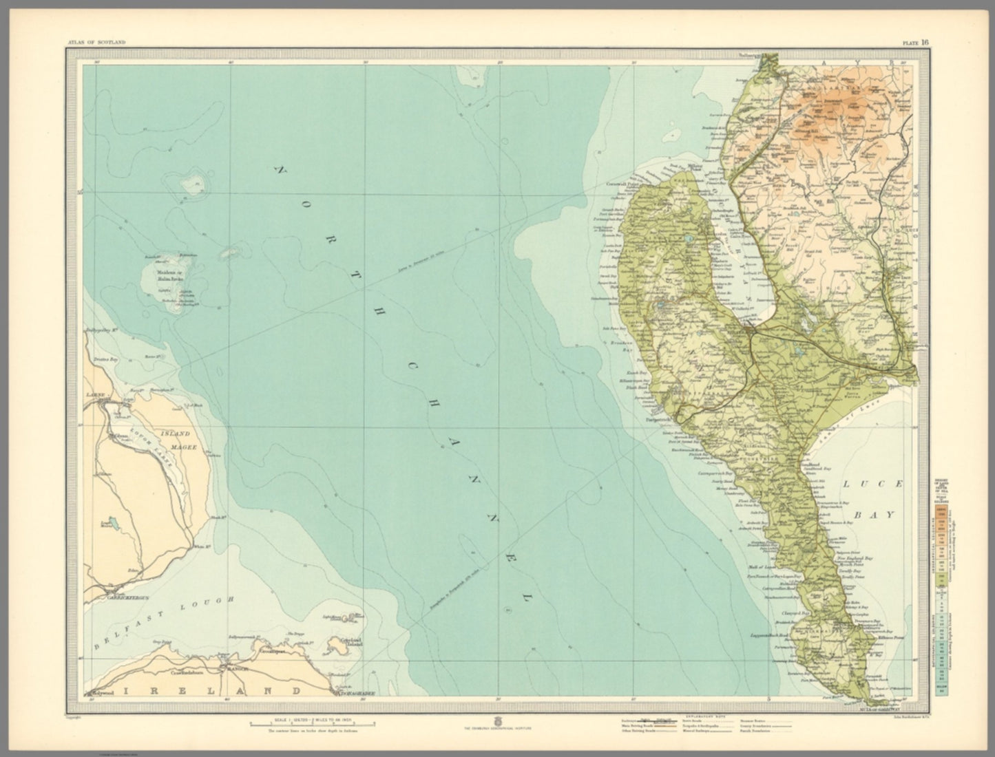
"Beautiful original antique map of Stanraer ,West Coast of Scotland"
Detailed map titled "Plate 16. Section-Map Stanraer" created by J.G. Bartholomew in 1912. It is part of the "Survey Atlas of Scotland," a deluxe edition published by the Edinburgh Geographical Institute.
The map measures 62 cm in width and 47 cm in height, and it showcases a scale of 1:126,720. (1/2 INCH TO MILE)
Bartholomew's use of innovative layer colouring is evident in this bright vibrant map enhancing its decorative appeal. A good clean example.
SKU: 1437
Compartir