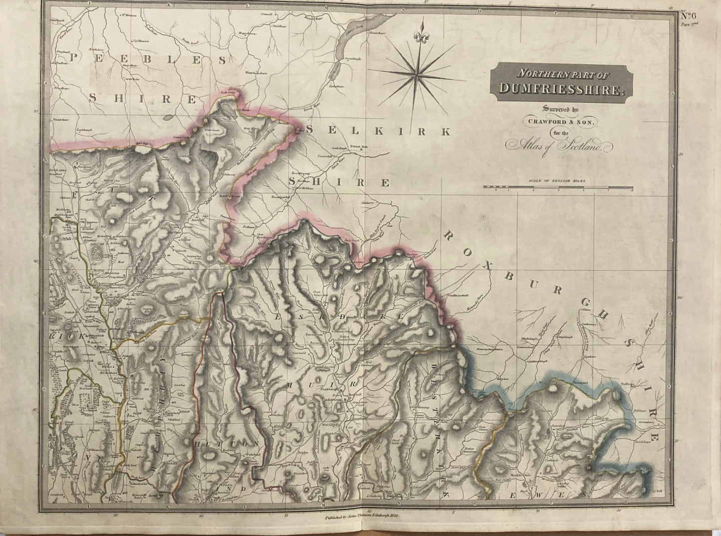
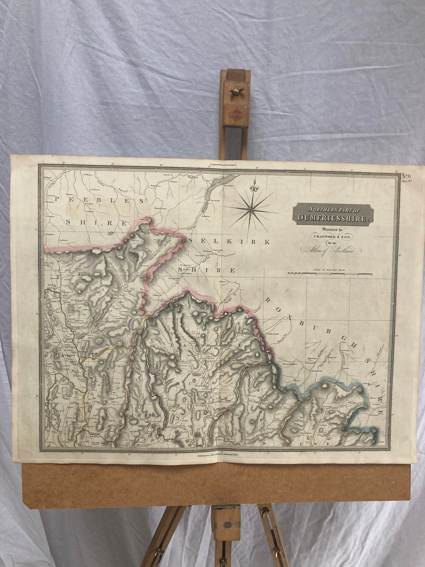
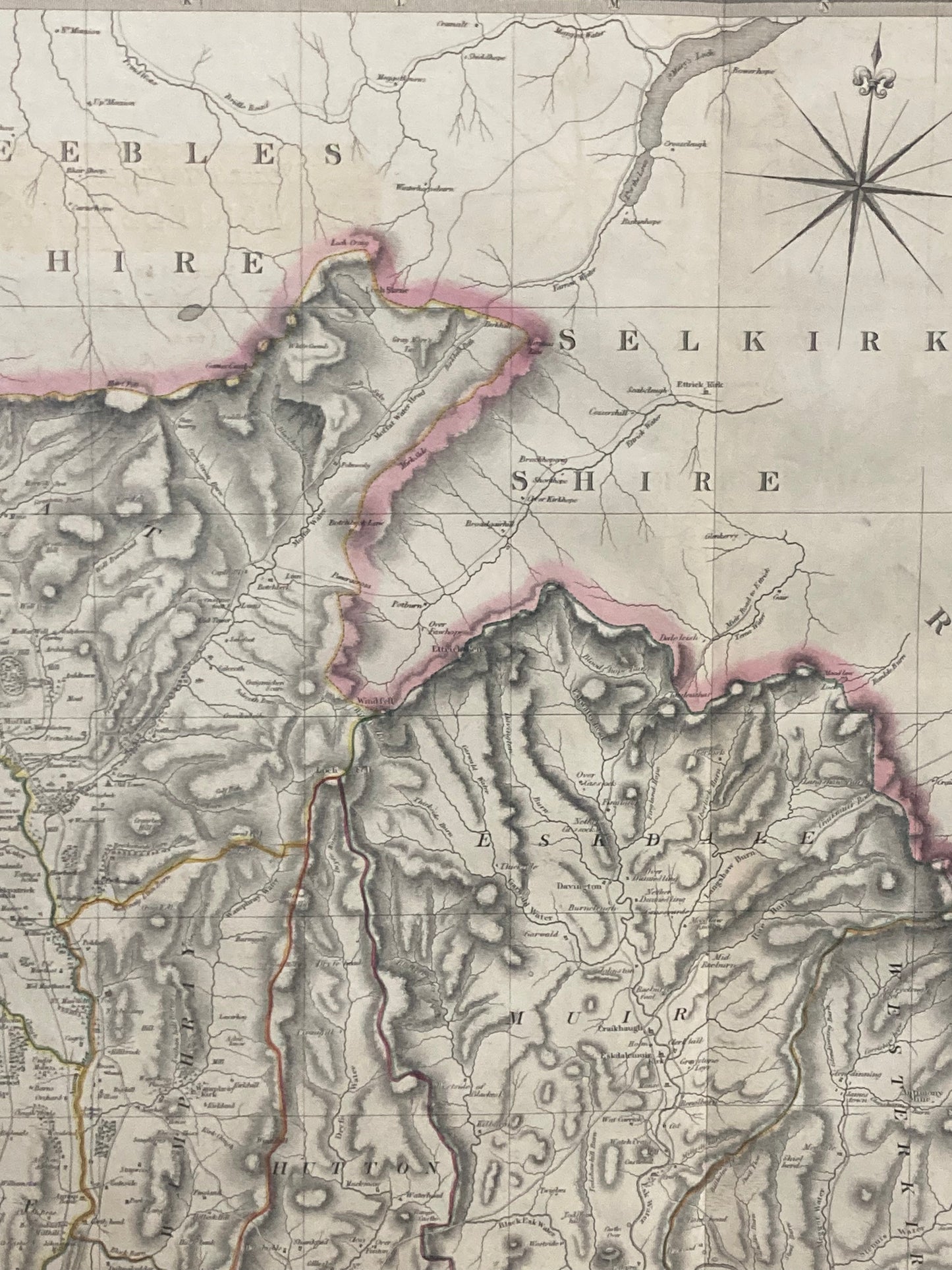
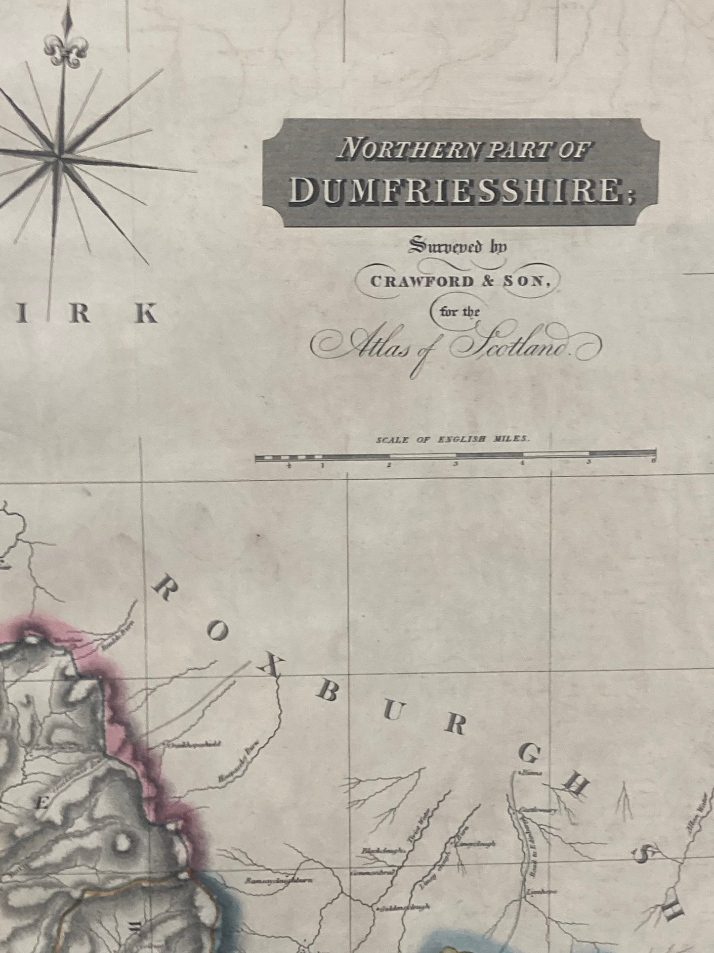
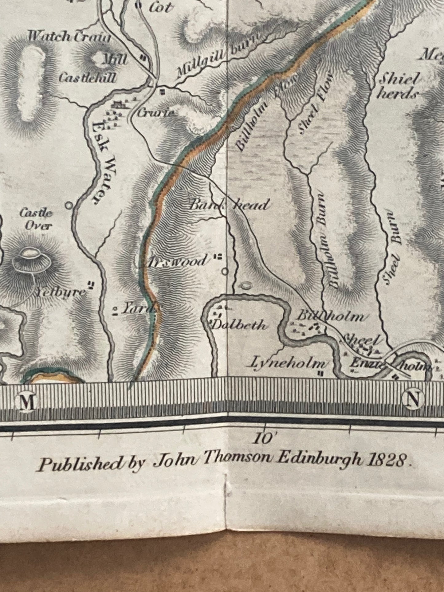
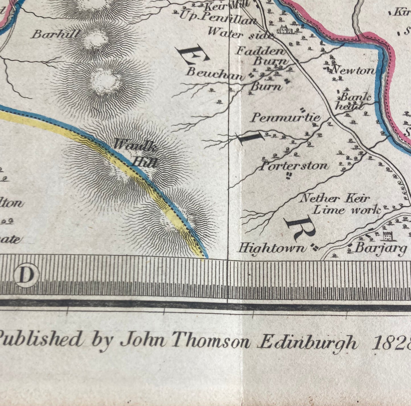
Northern Part of Dumfriesshire, Scotland – Original 1828 Antique Map by John Thomson
A large original antique map of the Northern Part of Dumfriesshire, Scotland, published by John Thomson & Co., Edinburgh for the renowned “Atlas of Scotland” .
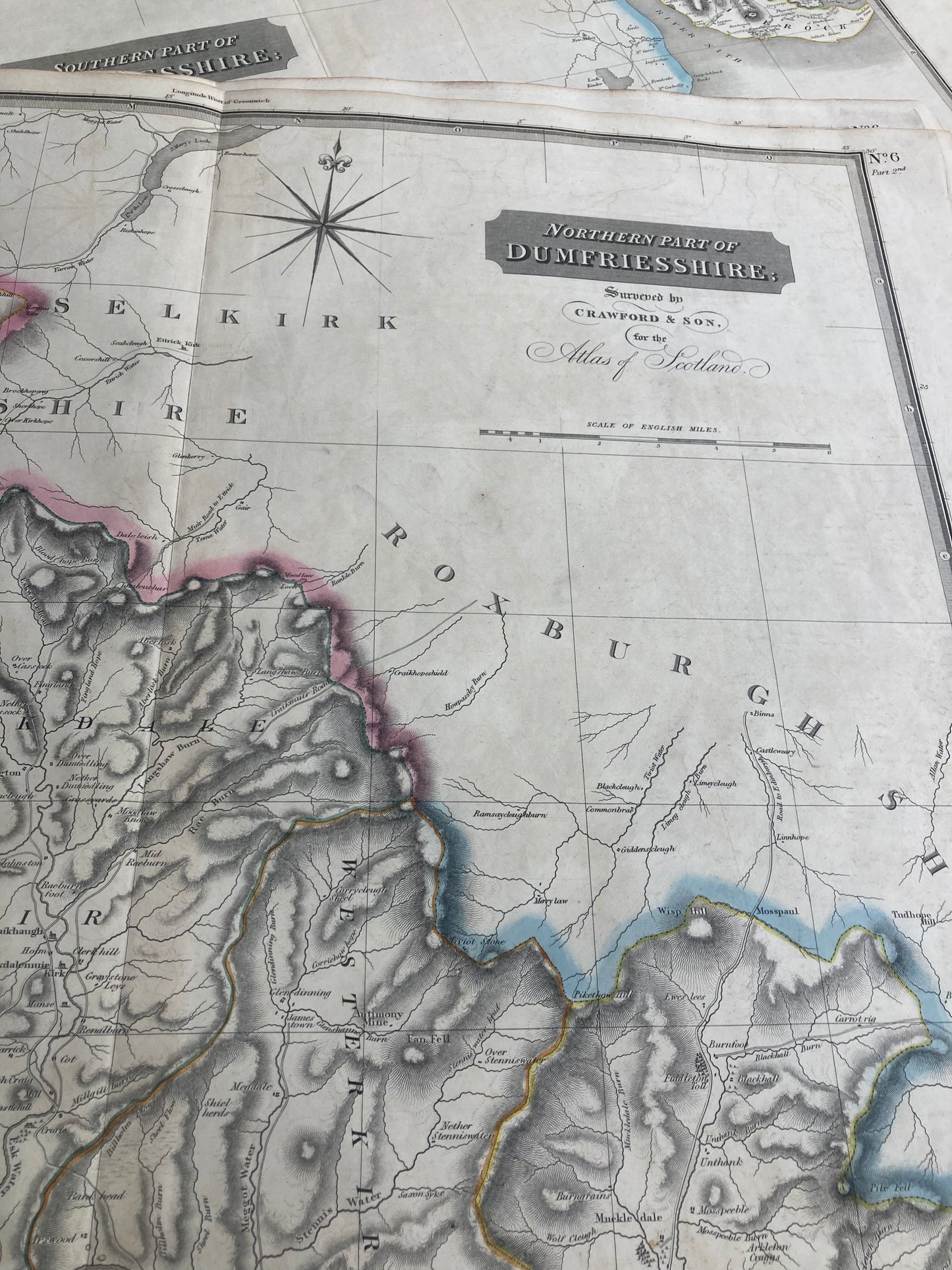
This beautifully engraved and hand-coloured county map captures the detailed geography and settlements of northern Dumfriesshire and surrounding shires of Peebles, Selkirk and Roxburgh.
Date: 1828
Mapmaker: John Thomson & Co., Edinburgh
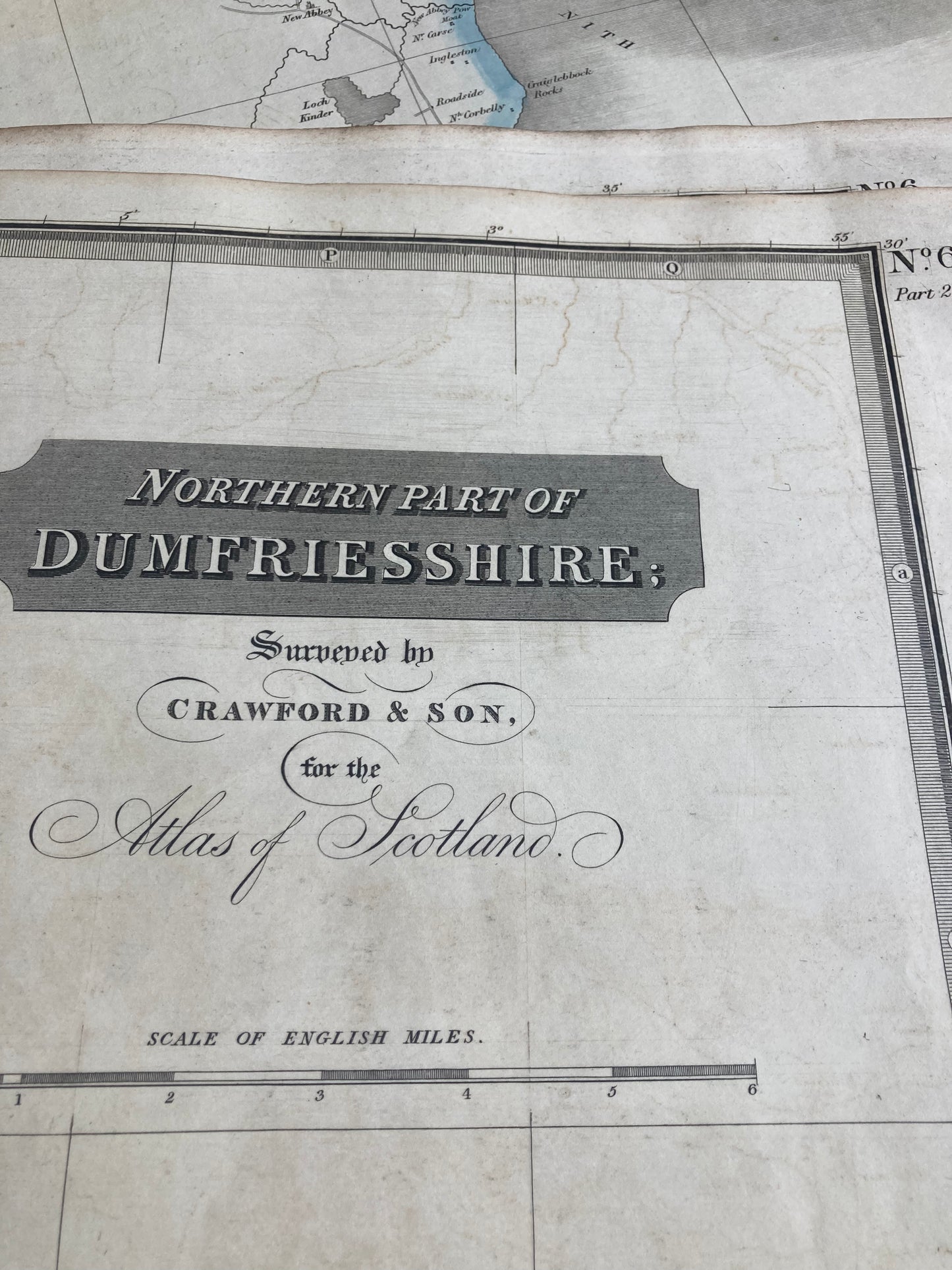
Title: Northern Part of Dumfriesshire, No. 6 part 2nd
Source:Atlas of Scotland
Technique: Engraving, hand-coloured in outline
Dimensions: Approx. 28.5 x 21 inches (725mm x 535mm)
Condition: Good overall, a strong, clean impression — ideal for framing or collection.
A fine and genuine example of early 19th-century Scottish cartography, perfect for collectors, historians, or as a decorative antique map for the home or office.