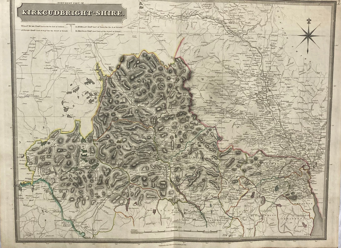
Northern Part of Kirkcudbtight-Shire, Scotland – Original 1821 Antique Map by John Thomson & Co.
A large original antique map of the Northern part of Kirkcudbright-Shire, Scotland, published by John Thomson & Co., Edinburgh for the renowned “Atlas of Scotland” .
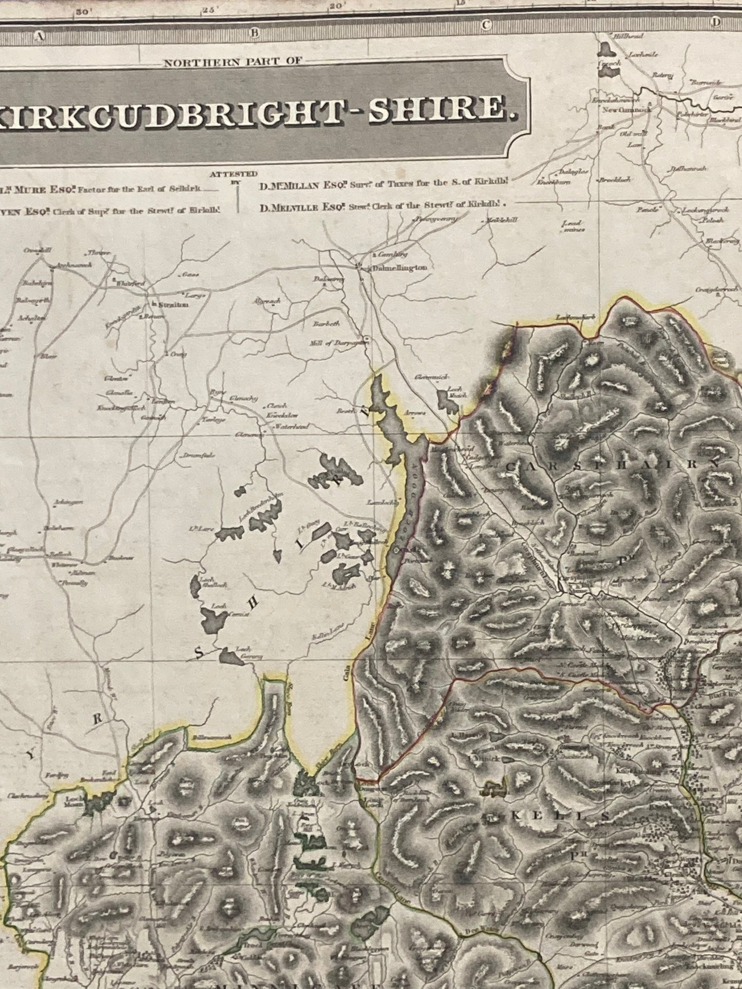
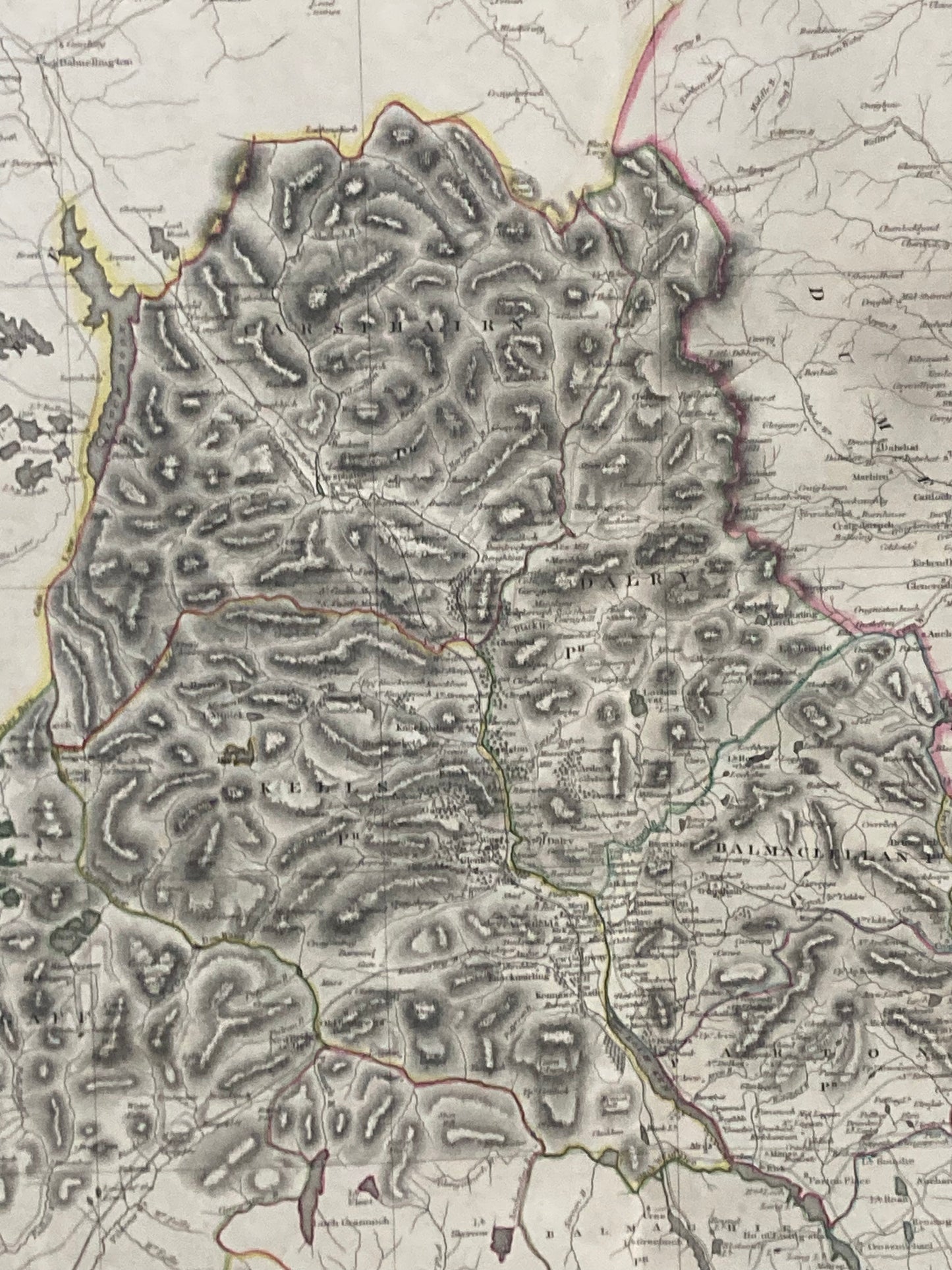
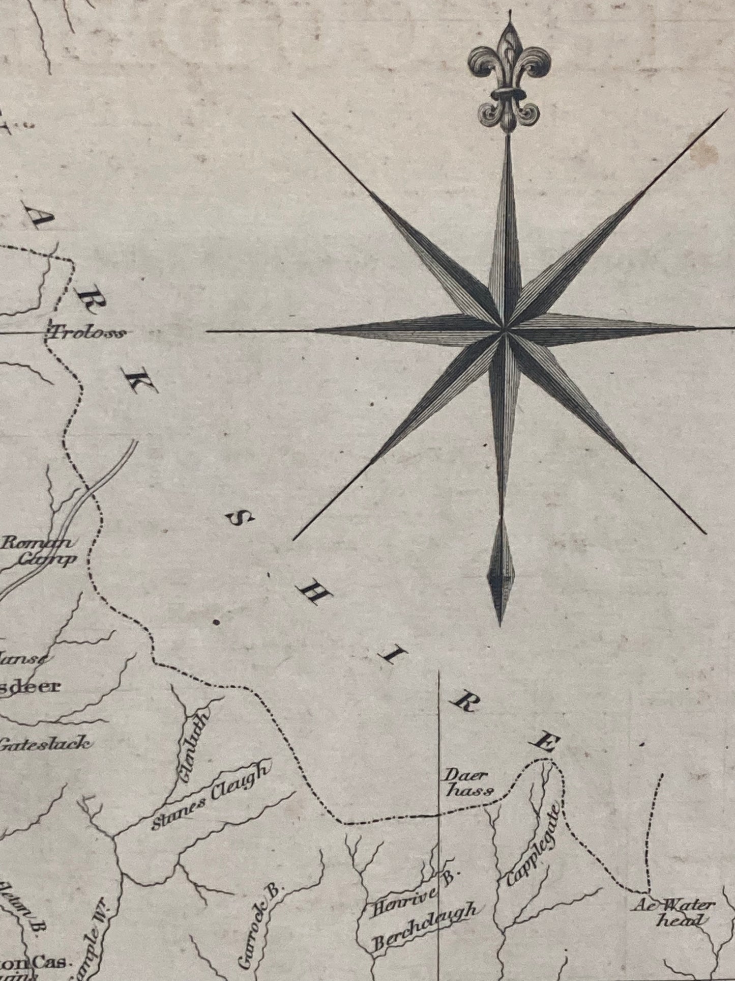
This beautifully engraved and hand-coloured county map captures the detailed geography and settlements of northern Kirkcudbright-Shire, showcasing Thomson’s exceptional 19th-century cartographic craftsmanship.
Date: 1821
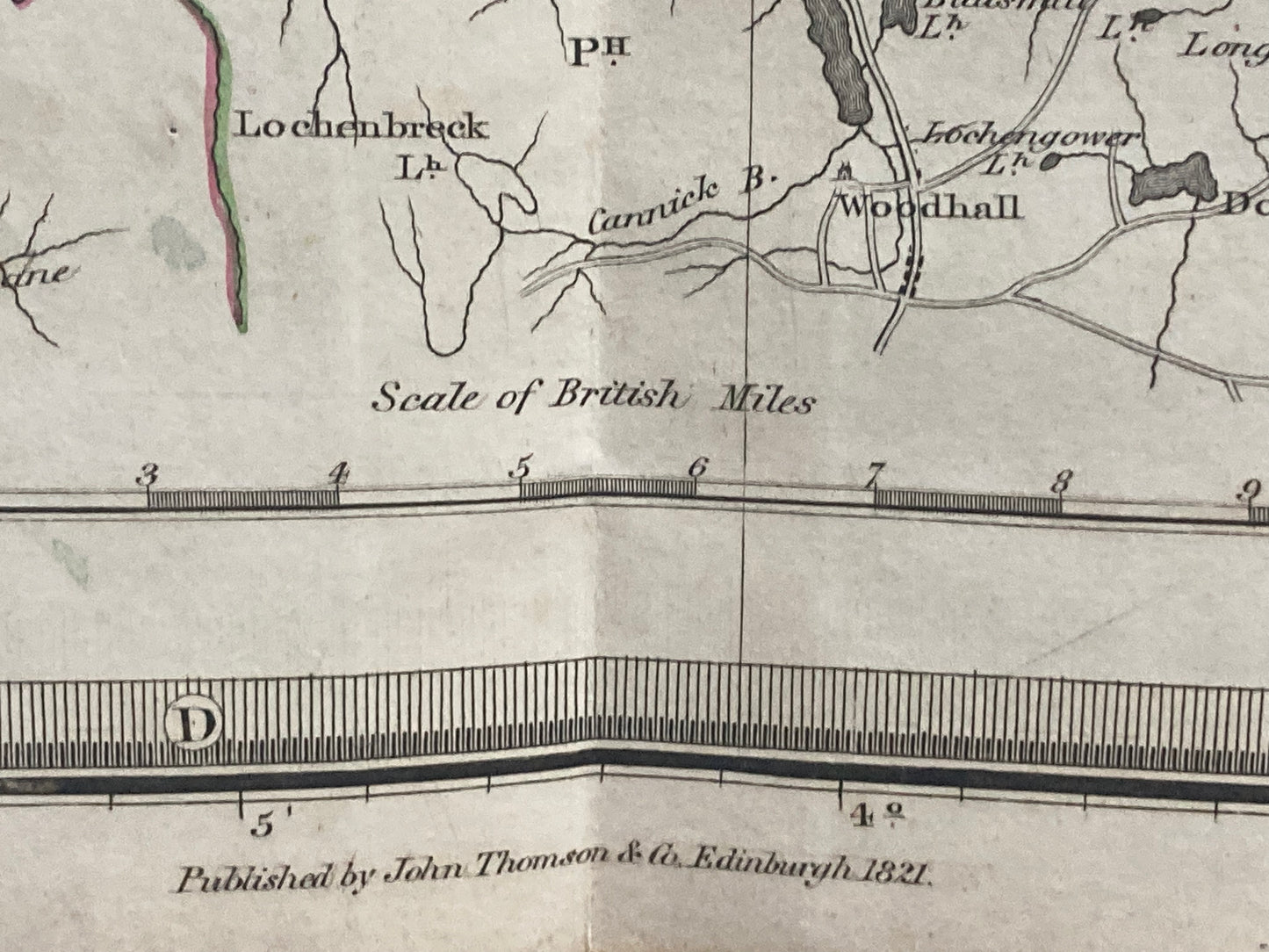
Mapmaker: John Thomson & Co., Edinburgh
Title: Northern Part of Kirkcudbright-Shire
Source:Atlas of Scotland
Technique: Engraving, hand-coloured in outline
Dimensions: Approx. 28.5 x 21 inches (725mm x 535mm)
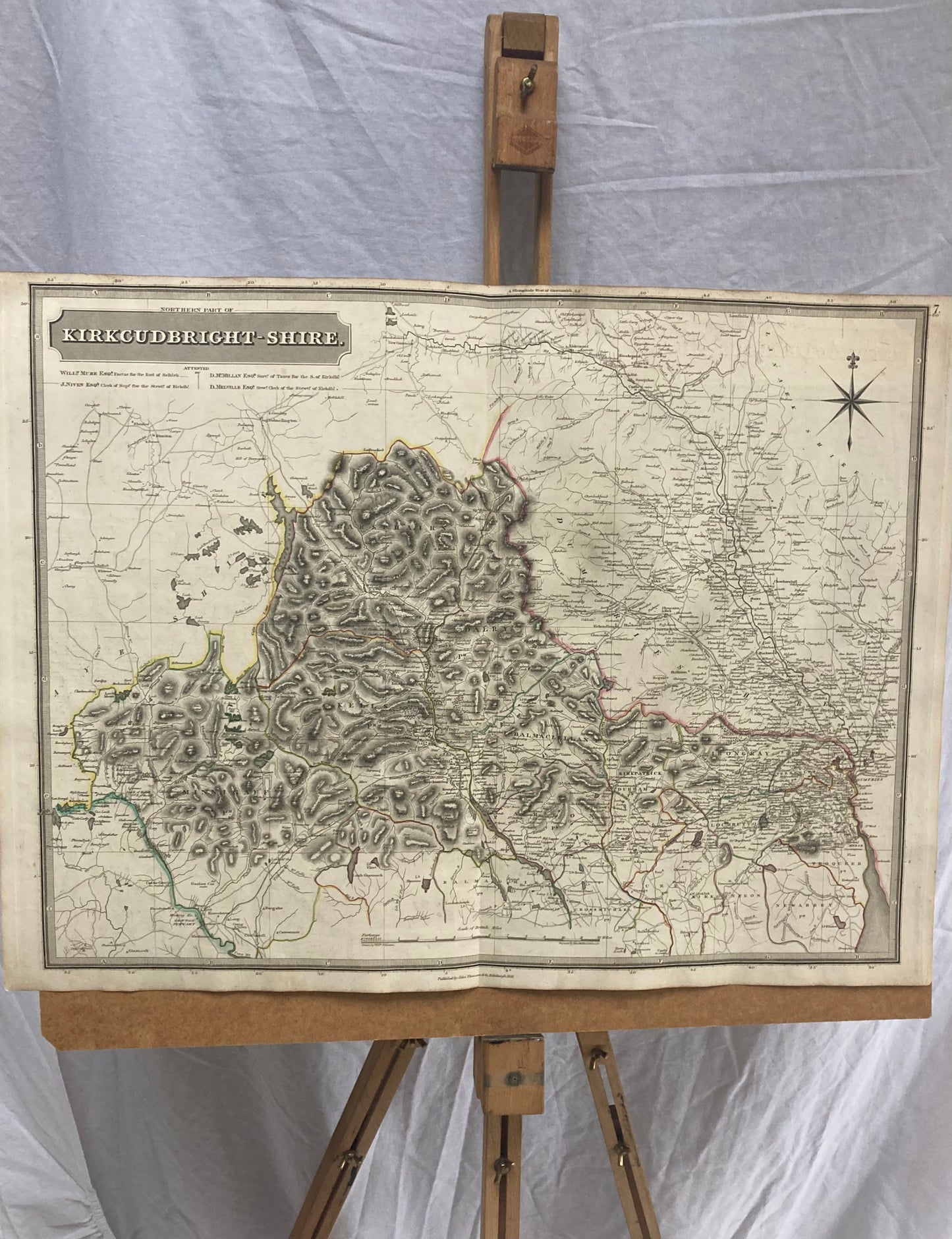
Condition: Good overall. Minimal light age toning to top sheet (visible in images) otherwise a strong, clean impression — ideal for framing or collection.
A fine and genuine example of early 19th-century Scottish cartography, perfect for collectors, historians, or as a decorative antique map for the home or office.