Customer testimonials
-
★★★★★ Instant talking point
“I bought one of Room Four's antique anatomical prints for my study and it's become the first thing visitors notice. The detail is incredible, the print quality is razor-sharp, and it has that perfect blend of science, history and art. It looks like something you'd find in a private medical library.”
Sarah, Bristol
-
★★★★★ Exactly the dark-academic look I wanted
“I've spent years trying to find vintage anatomy artwork that doesn't look cheap or overproduced. Room Four absolutely nailed it. The print feels authentic, beautifully reproduced, and gives the room that museum-meets-curiosity-cabinet atmosphere I was after.”
Jason, London
-
★★★★★ Never disappointed
“Every visit to Room Four when I'm in Glasgow is a highlight. As someone who works closely with anatomy every day, I have high standards for this kind of artwork — and they always deliver. Beautifully curated, authentic pieces that you simply won't find anywhere else.”
Claire, Mortician
What our customers say
-
A beautiful find
“Beautifully presented and exactly as described. I’m delighted with my purchase.”
— Verified customer -
Wonderful service
“A lovely shopping experience from start to finish. The team were so helpful and delivery was prompt.”
— Verified customer -
Highly recommend
“The quality is exceptional and it looks perfect in our home. I’ll definitely be back.”
— Verified customer


Room Four
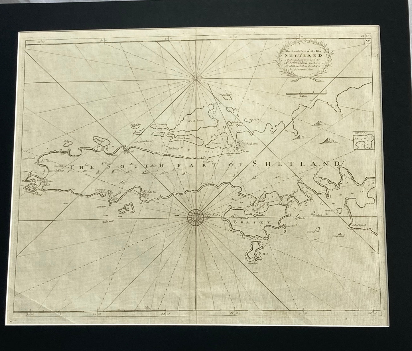
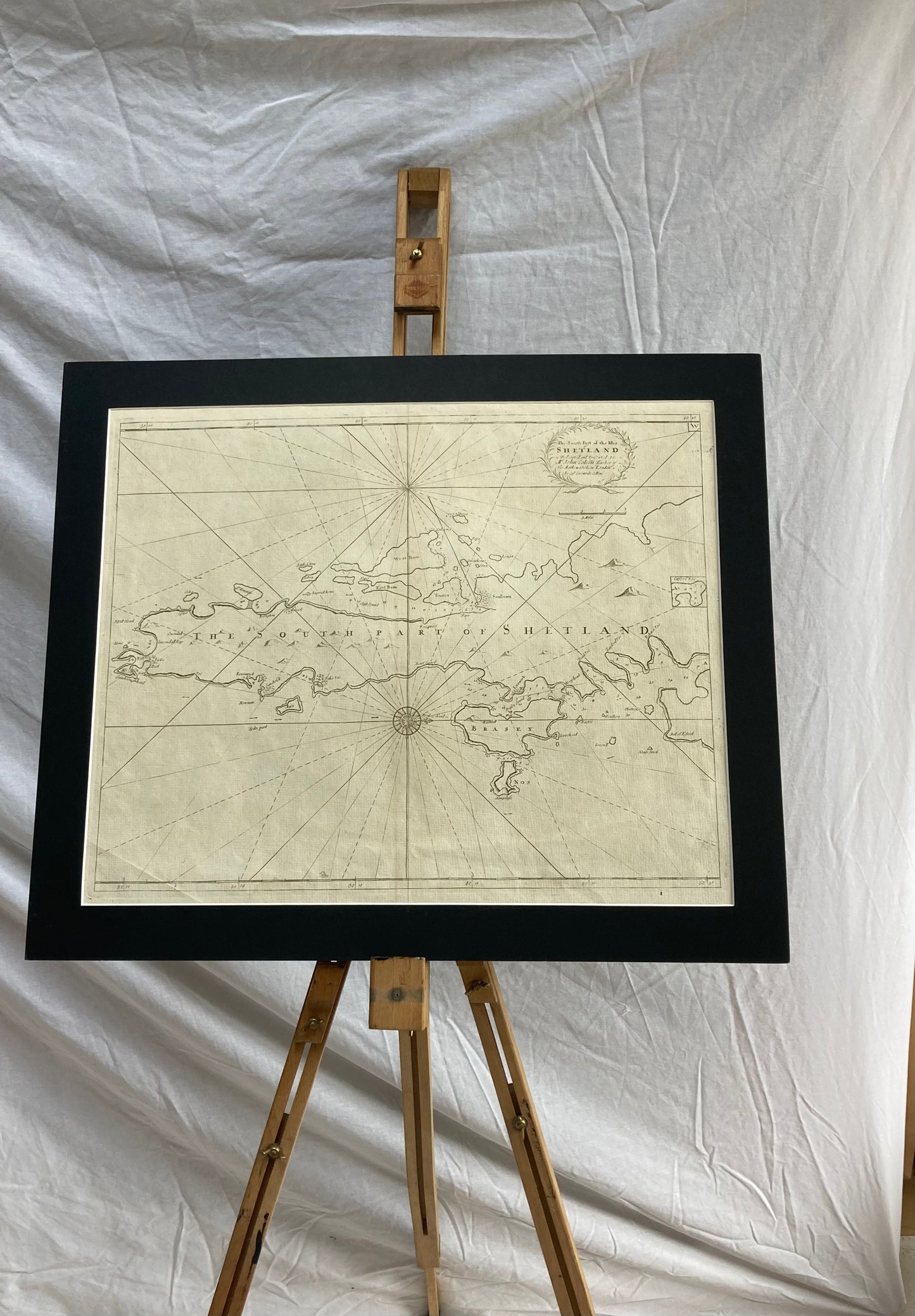
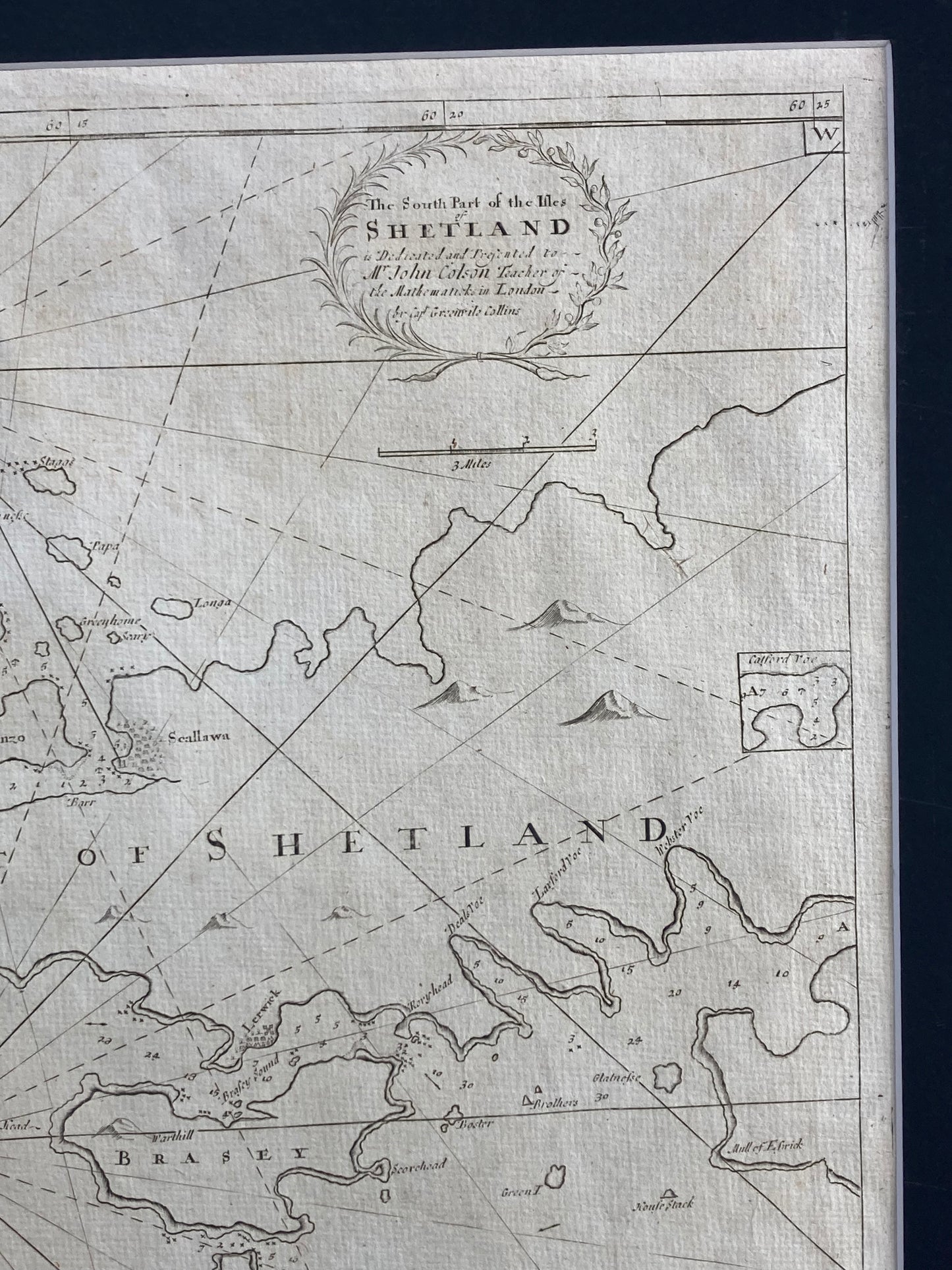
Antique Sea Chart – Shetland Isles (South) by Greenville Collins (published 1693–1764)
Antique Sea Chart – Shetland Isles (South) by Greenville Collins (published 1693–1764)
Couldn't load pickup availability
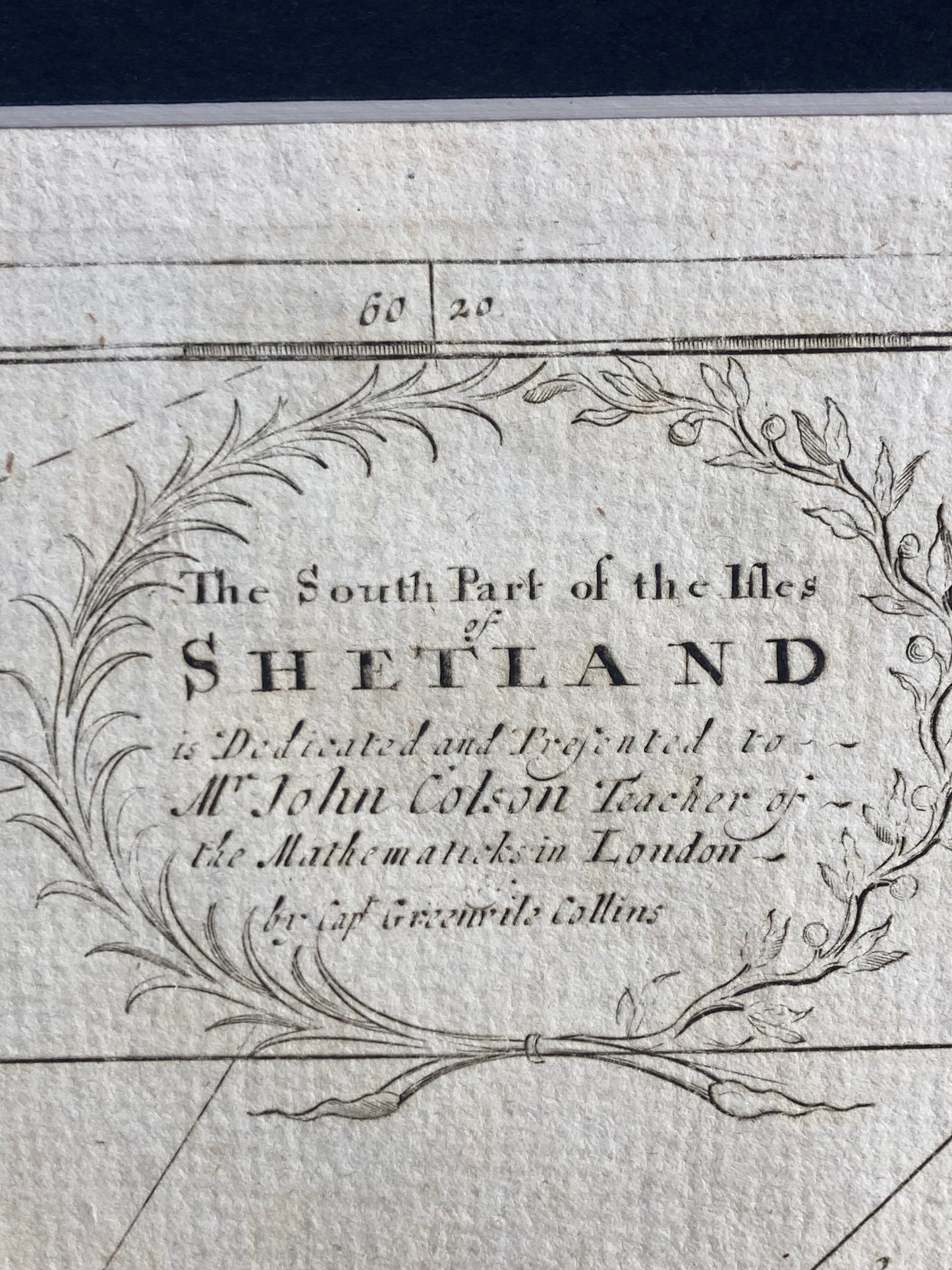
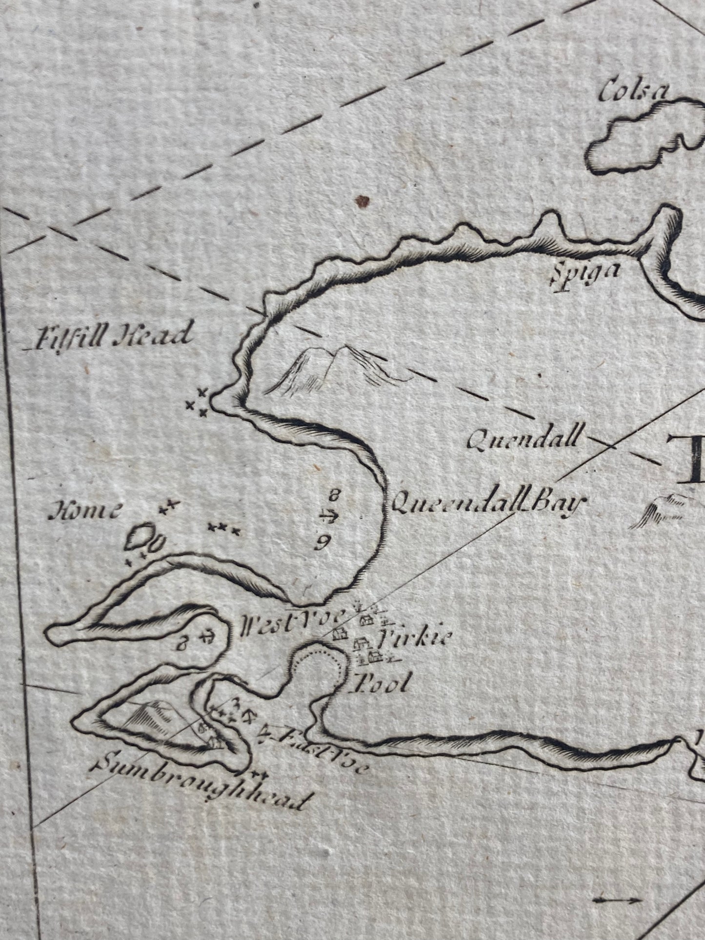
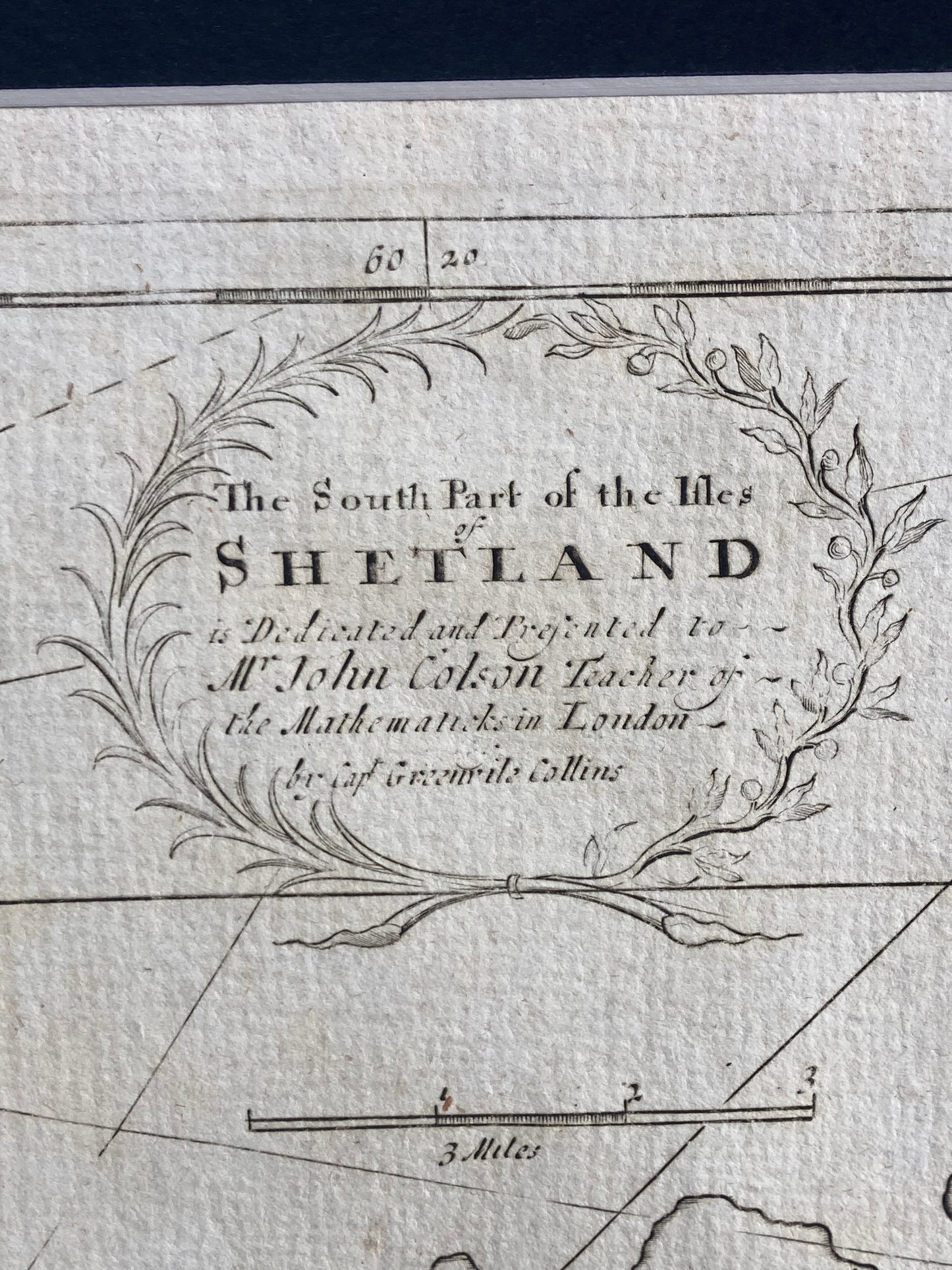
South Part of the Isles Shetland: Rare antique sea chart of the Shetland Isles by Capt. Greenville Collins, from Great Britain’s Coasting Pilot ( published 1693–1764). Historic maritime map.
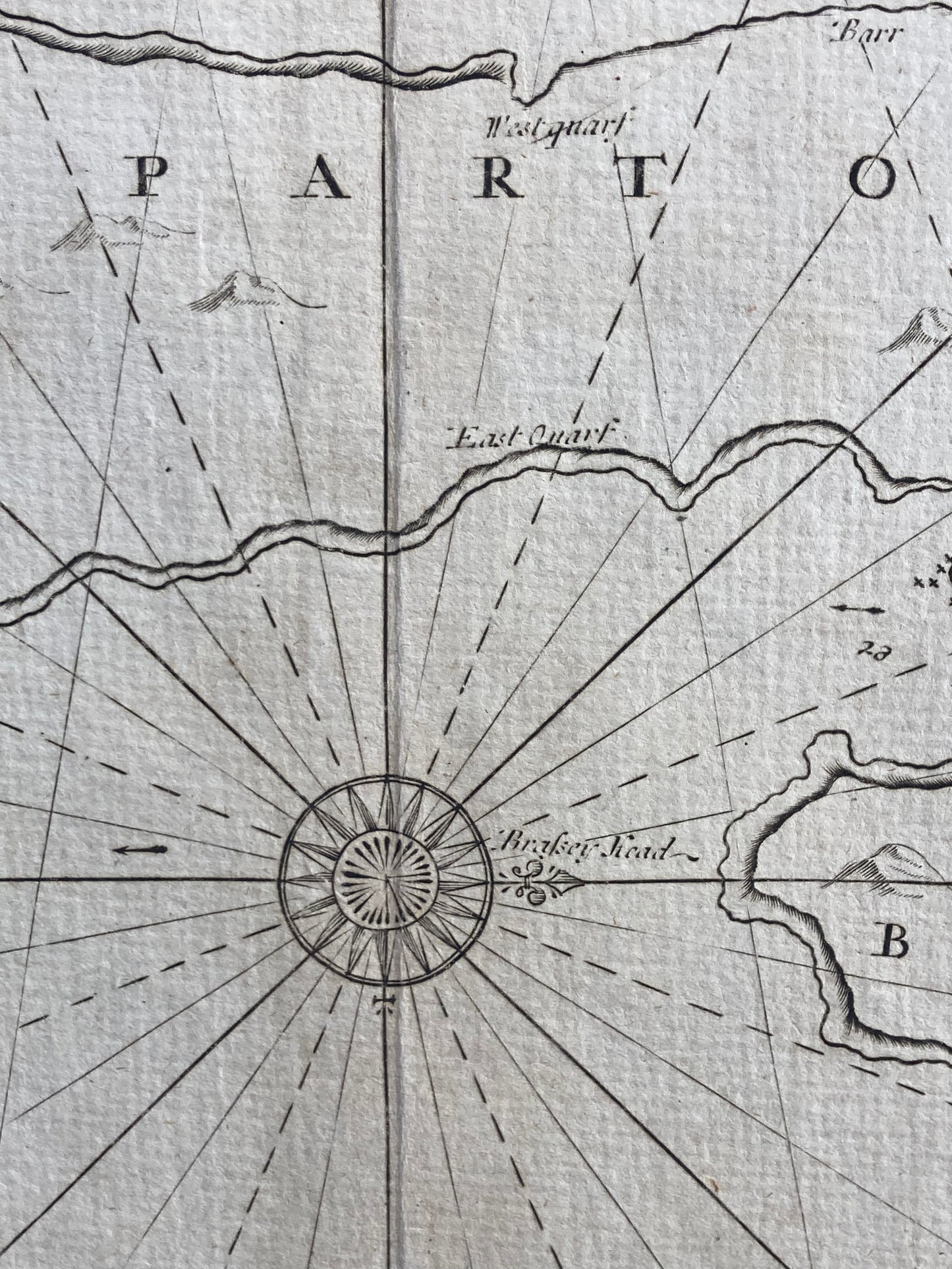
Discover a rare antique sea chart of the South part of Shetland Isles by the renowned cartographer Capt.Greenville Collins, commissioned under King Charles II and supported by Samuel Pepys in his role as Surveyor of the Navy. This historic chart forms part of Collins’ celebrated work, Great Britain’s Coasting Pilot, first published in 1693 and later reissued until 1764. Showcasing early maritime navigation of the Shetland coastline, this genuine antique print carries the character of time with light age toning, enhancing its authenticity and charm. A perfect piece for collectors of antique maps, nautical charts, and admirers of British maritime history, it offers both decorative appeal and significant historical value.
Dimensions: Image: 470mm x 580mm (Overall incl. pasted down mount 570mm x 680mm)
Condition: good example , some light age toning
SKU: 1330
Share