1
/
of
1
Shipping & Packing
✔️ Complimentary Worldwide Shipping on All Prints
✔️ Royal Mail Tracked & Insured
✔️ Rolled in acid‑free paper & secured in a protective tube
✔️ Collection available from our Glasgow store
Large courier‑only items excluded
Room Four
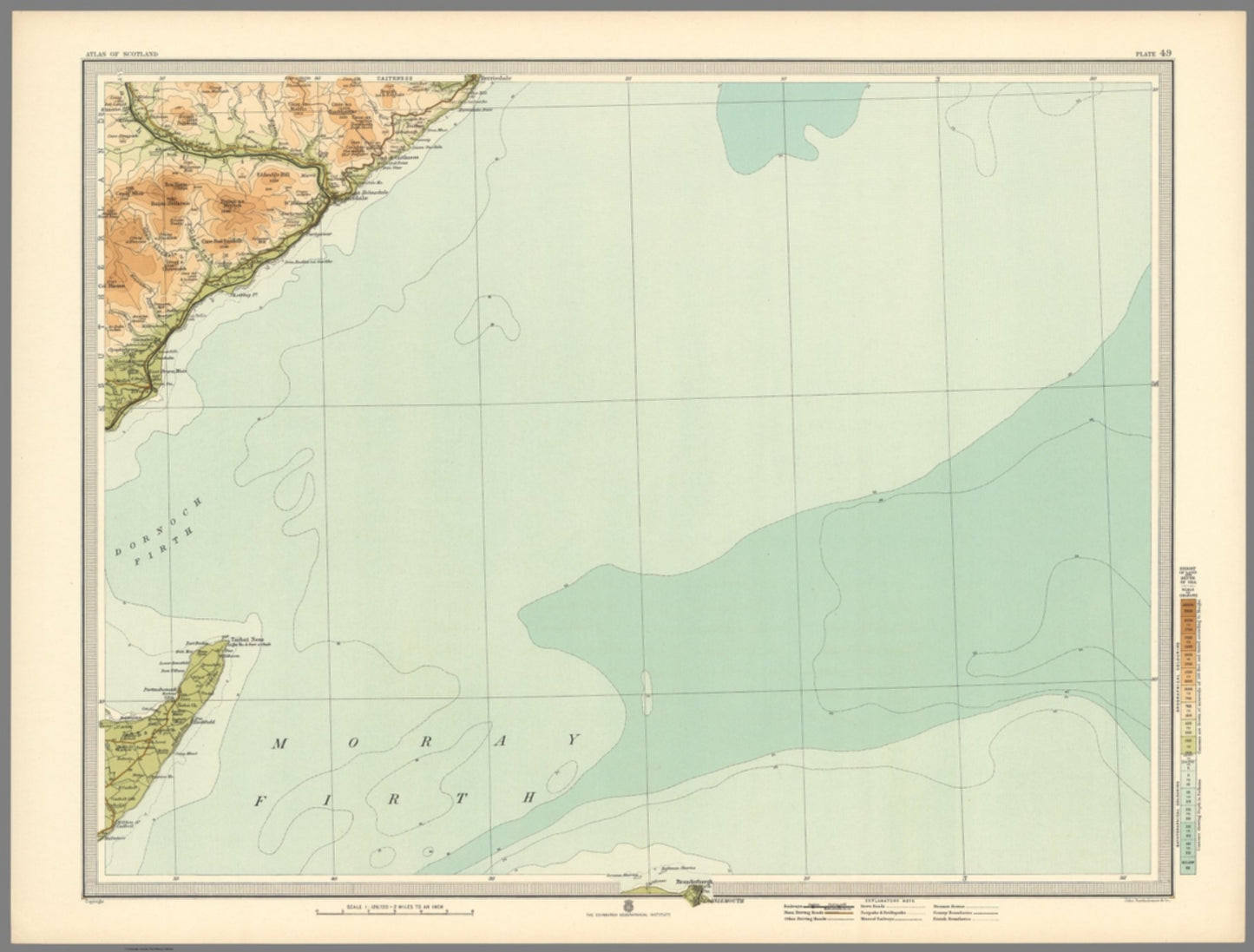
Helmsdale (Scotland) Map, circa 1912
Helmsdale (Scotland) Map, circa 1912
Regular price
£48.00 GBP
Regular price
Sale price
£48.00 GBP
Unit price
/
per
Shipping calculated at checkout.
Couldn't load pickup availability
"Beautiful original antique map of Helmsdale, NE Scotland"
Detailed map titled "Plate 49. Section-Map Helmsdale" created by J.G. Bartholomew in 1912. It is part of the "Survey Atlas of Scotland," a deluxe edition published by the Edinburgh Geographical Institute.
The map measures 62 cm in width and 47 cm in height, and it showcases a scale of 1:126,720. (1/2 INCH TO MILE)
Bartholomew's use of innovative layer colouring is evident in this bright vibrant map enhancing its decorative appeal. A good clean example.
SKU: 1440
Share